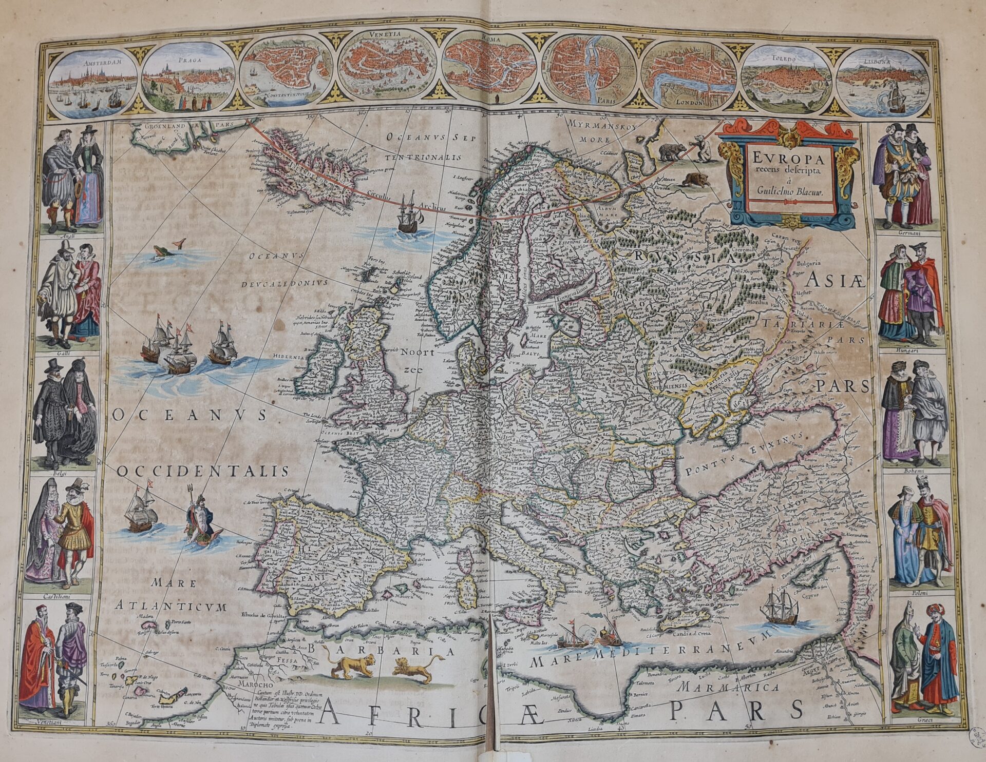
The cartographic collection of the Casanatense Library, consisting of both printed and manuscript works, bears witness to the evolution of the vision of the world, from medieval culture to the modern one characterized by great journeys and scientific discoveries.
Printed works
Within the collection of prints there is a collection of texts, marked in the location by the letters “CCC”, which includes large geographical editions, for a total of 62 volumes, mostly dating between the 17th and 18th centuries, such as those of Blaeu and Jansson, true works of art.
Worth mentioning in this context is the work Atlas maior sive Cosmographia Blaviana, in its first edition, with text in Latin and published in Amsterdam in 1662 by Joan Blaeu, belonging to a dynasty that dominated the Dutch cartography market between the end of the 16th and the middle of the 17th century. With the publication of the Atlas maior, printed on fine paper and embellished with extraordinary miniatures, Dutch cartographic production reached its maximum splendor. The work bears witness to the taste of the time: in the 17th century cartography, although based on scientific criteria, was still very sensitive to the aesthetic aspect, to decoration and, why not, to fantasy in the absence of concrete data.
Incunabula
Among the incunabula, VOL.INC. 732 should undoubtedly be mentioned: a very valuable 1482 German edition of Ptolemy’s work, containing a large plate depicting the “ancient world” and signed by the engraver Johann Schnitzer.
The manuscripts
Among the cartographic representations included in the manuscript collection, the following are certainly worthy of note: Liber Insularum Archipelagi (MS.106) with a description of the islands of the Aegean Sea, numerous details on the ports, cities and villages; all represented by extraordinary watercolours, each accompanied by descriptive text; the nautical charts of the Mediterranean, inside the MS.4866 on a parchment roll of 1556 (in which archipelagos, various coastal locations, islands of the Mediterranean and of Western Atlantic Europe are reported with great accuracy) and inside the MS.4865 on a parchment roll of 1588, with the representations of the three caravels, an evident reference to the memorable enterprise of Christopher Columbus and to the beginning of the era of the great geographical discoveries. In both nautical charts great importance is given to the maritime republics of Genoa and Venice, as irreplaceable commercial ports in the heart of the Mediterranean.

